


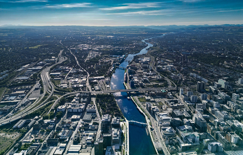
PROGRESS is being made on plans to create 11km of active travel routes in the inner north and south of Glasgow, the city’s council has said.
The move forms part of larger plans to create a city network consisting of 270km of active travel routes.
Routes would be created in the inner north at Maryhill Road, Bisland Drive, Hawthorn Street, and North Canal Bank Street. Whilst the south of the city would see routes at Shields Road, Nithsdale Road, Darnley Street, Titwood Road, and Maxwell Road.
By connecting to existing routes and active travel projects already in development, the nine new routes, which will provide better pedestrian infrastructure and high-quality, protected cycle ways, will contribute toward the expansion of the network, Glasgow City Council said.
A bid has been placed to Transport Scotland’s Active Travel Infrastructure Fund (ATIF) and subject to the outcome, the routes would be advanced to the developed design stage. The funding bid follows a detailed review of almost 55km of potential routes in the two areas. This work included an analysis of traffic patterns and parking availability, as well as significant input from the local community.
The work has led to the development of 42.62km of routes to the ‘concept design’ stage – 21.82km in the Inner North and 20.81km in the South. Routes not part of the recent ATIF bid are hoped to be advanced in the future, subject to successful funding applications.