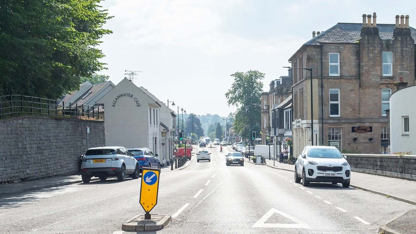
A preferred design solution for a £15 million flood prevention scheme in Bridge of Allan has been identified by Stirling Council.
Work on the new flood defence scheme is set to start in the summer of 2026 and is estimated to take up to 18 months, with it aiming to protect 87 properties and 700 metres of road from the Allan Water.
The height of existing flood walls along Allanvale Road and Cornton Road will have their heigh increased and Cornton Road’s height over the section adjacent to Haws Park will also be raised.
In total, £12 million of funding for the scheme will be provided by the Scottish Government as part of the national programme, funding of flood scheme protections, with the remaining £3 million funding from Stirling Council.
The Bridge of Allan community was consulted on the proposals in November 2023, with the new defence scheme designed to protect against a flood which, statistically, occurs once every 50 years.
The current defences were constructed in the 1970s and 1980s and parts are now considered to be in poor condition and do not provide sufficient flood protection against increasing flood events due to climate change.
Convener of the environment, transport, and net zero committee, councillor Jen Preston, said, “The Bridge of Allan flood protection scheme is a significant infrastructure project that aims to reduce the risks from the Allan Water and help the community with future resilience.
“We know how damaging floods can be in our local communities and the distress it causes to households and businesses. Extreme weather events are becoming more commonplace as a result of climate change and we must become more preventative and less reactive.
“The option we’ve selected for Bridge of Allan maximises the number of properties to be protected, while maintaining the best use of public funds. It will also follow the alignment of the existing flood protection scheme as much as possible, which will minimise disruption to residents and local businesses.”


