


A new River Clyde tidal flood model has been published in response to sea levels being predicted to rise as a result of climate change.
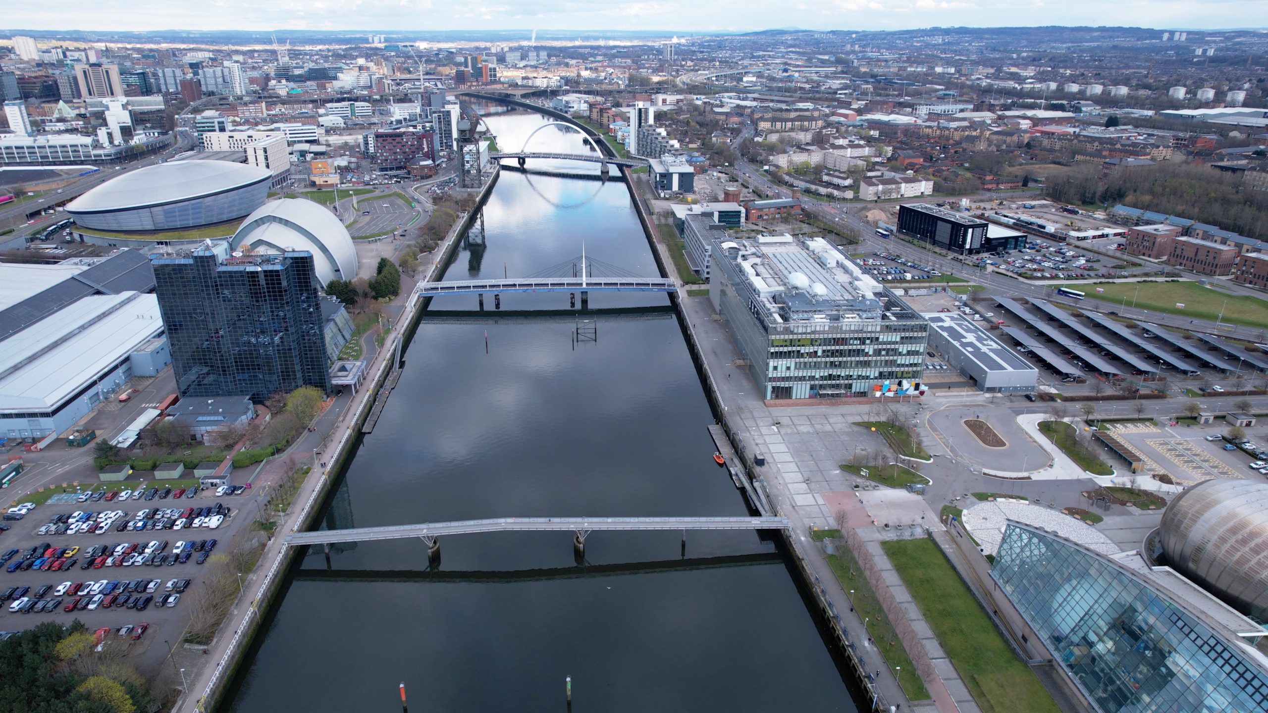
Glasgow City Council and SEPA produced the model, which covers the area on the river between Dalbeth in Glasgow and Greenock.
The collaboration between Glasgow City Council and SEPA will inform management of flood risk on the Clyde, and replaces the River Clyde flood management strategy model. It will be used by developers, planners, investors, and organisations and individuals with an interest.
The council said that consideration of tidal flooding is ‘increasingly important’ as rising sea levels mean that flooding associated with high tides and storm events will be to a greater depth and cover a larger area of land than at present.
With the Clyde being ‘key part’ of economic and social life in the west of Scotland, the Glasgow city-region has a vision of a climate-resilient river corridor that supports a mix of land uses and provides attractive spaces where people want to spend time.
Development sites along the banks of the Clyde, many of which have lain vacant for many years, should be developed in a way that recognises the challenge of increased flood risk due to climate change, the council said. It added that this challenge can be addressed through sensitive design that aligns with an overarching principle of no net loss of the functional floodplain, and gives consideration to land use vulnerability, and water resilient construction and operational practices.
The council said that, by using the River Clyde tidal flood model, a ‘proportionate, plan-led, approach’ to managing flood risk for existing and new communities will be delivered by key stakeholders along the tidal reach catchment.
For new development, this catchment management approach is proposed to ensure no net loss of functional floodplain storage for the tidal reach of the river, thereby allowing and supporting appropriate development within that tidal reach.
Councillor Susan Aitken, leader of Glasgow City Council and chair of the Glasgow city region cabinet, said, “The Clyde is central to the life of Glasgow and our neighbouring local authorities, and like all other such rivers, has to face the reality of climate change.
“The new River Clyde Tidal Flood Model will allow proper management of flood risk along the river, ensuring that appropriate development takes place on its banks and flood plains. This management will ensure that the economic, environmental and social benefits of the many uses – both existing and to come – on the Clyde can continue to be delivered for future generations.”
Vincent Fitzsimons, head of hydrology and flooding at SEPA, added, “Scotland is already seeing the impacts of a changing climate. We know that there is locked in climate change we cannot reverse – including sea level rise. Climate change is a huge challenge and SEPA is pleased to have worked with Glasgow City Council to develop the tidal Clyde model as a shared tool to be used by all partners.
“SEPA endorses it as the current best available data to help assess the flood risk ahead for land use planning to allow communities in the area to thrive. Avoiding or adapting to flooding is a fundamental consideration in the design of great places as we learn to live safely with flooding both now and in the future.”