


Image: JasperImage, Shutterstock
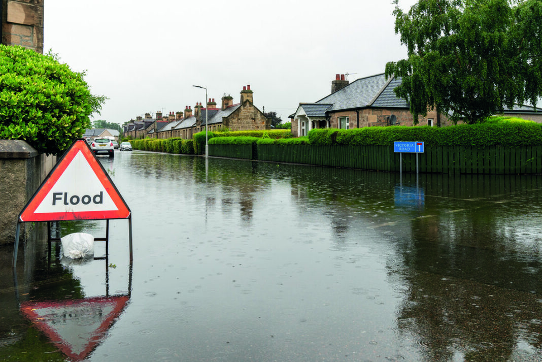
INNOVATIVE mapping technology is to be used to mitigate the risk of flooding in Scotland, the Scottish Environment Protection Agency (SEPA) has announced.
It comes as part of the organisation’s vision of a society that is resilient to flooding and adapted to future climate change.
SEPA said that the mapping, which will be provided by JBA Consulting, will provide a ‘complete refresh’ of existing national surface water flood maps using the most up-to-date data on current and future rainfall.
An initial pilot stage will take place which will trial high resolution modelling and mapping methodologies, as well as a range of model assumptions and parameters across the four pilot areas of Aberdeen, Glasgow, Peebles and Torridon.
Once the trial period ends in early 2022, SEPA said that an agreed approach will then be rolled out across the country and the mapping will be produced in a sequence of 11 geographical phases.
Vincent Fitzsimons, head of hydrology and flooding at SEPA, said, “The latest landmark climate change report from the IPCC is a clarion call for what the world already knows, that the climate emergency is accelerating. SEPA is urgently responding to ensure Scotland’s communities and businesses are resilient to flooding and adapted to future climate change impacts.
“A major part of this is to ensure information on flood risk is available to those who need it most. This means we need to continually improve the quality and availability of our flood map products, with a particular focus on surface water flood risk.
“Our significant investment in this project to improve surface water flood hazard mapping for Scotland is one step on the journey to ensure people and businesses are resilient to flooding and adapted to our changing environment.”
David Bassett, director, JBA Consulting, added, “We’re delighted to be appointed by SEPA to complete the national surface water flood hazard mapping for Scotland. We have been working on flood risk in Scotland for over 20 years and in that time our technical experts have accrued excellent knowledge of the risk and the issues, and the structures in place to help.
“Scottish Government surface water management planning guidance issued in 2018, highlighted that 23% of annual average damages associated with flooding across Scotland were forecast to come from surface water flooding. Of the 27,500 homes predicted to be at risk, 39% are in areas of higher social vulnerability.”