


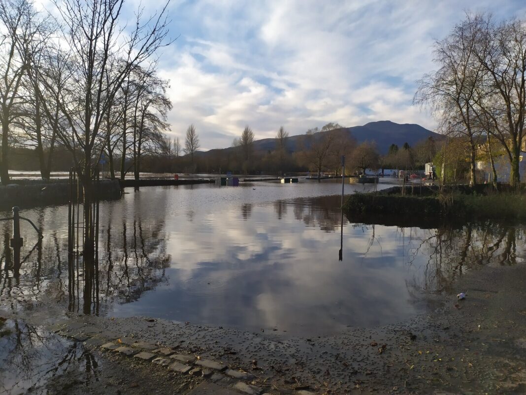
STIRLING Council is gathering information on the history of flooding in Callander to help shape the town’s flood protection scheme and surface water management plan.
The local authority said that the information gathered from the study will be ‘integral’ to the formation of the scheme.
It is seeking information on dates and locations of flooding issues, photo or video footage of the flooding and areas affected by flooding. It is hoped the details will reveal whether the flooding was caused by high river levels, from surface water coming off the crags or for other reasons.
Convener of the environment and housing committee, councillor Jim Thomson, said, “I would ask that anyone with knowledge of flooding incidents in the Callander area participate in this survey.
“Flooding is an issue in Callander, as demonstrated by the impact of the heavy rainfall we have seen recently. It is important that we gather as much local information as possible to develop a fuller understanding of flood risk in the Callander area and help us move forward with a plan to alleviate it.”
Any historic information on flooding in Callander can be shared here.